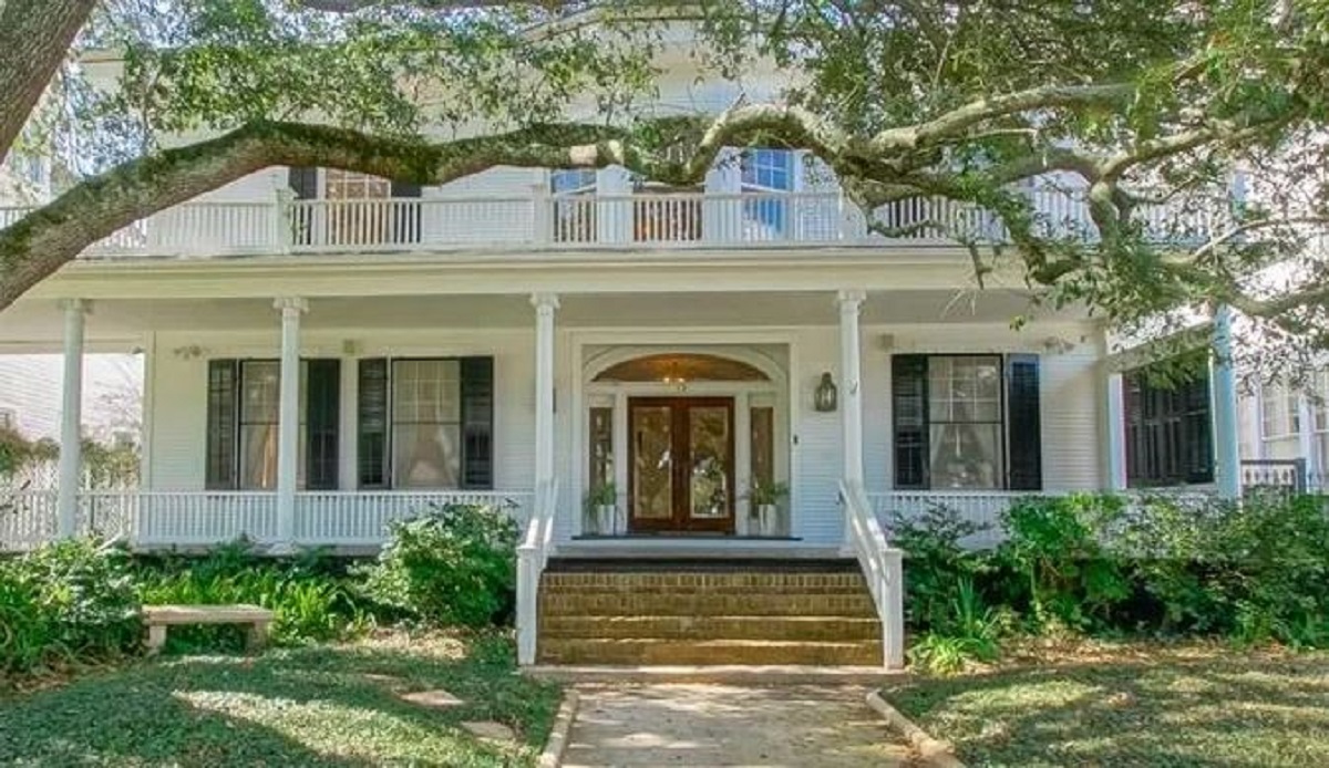
One of the most renown areas of New Orleans is the Garden District. Like its name implies, the Garden District is full of lush greenery, but that’s not all.
In this article, we’ll tell you everything you need to know about New Orleans’ Garden District.
What Is The Garden District In New Orleans?
The Garden District is a historic neighborhood located in the Uptown area of New Orleans. It is roughly bounded by St. Charles Avenue to the east, Magazine Street to the west, Toledano Street to the north, and First Street to the south. The neighborhood is known for its beautiful homes, gardens, and oak-lined streets, and it’s a popular destination for tourists and locals alike.
Some of the main attractions in the Garden District include Lafayette Cemetery No. 1, the Commander’s Palace restaurant, and the Magazine Street shopping district. The Garden District is easily accessible by streetcar or car, and it’s just a short ride from the French Quarter.
Where Is The Garden District Located?
Many people confuse the border streets that make up the Garden District. It is comprised of Magazine Street, Josephine Street, Carondelet, and Delachaise Streets, partially including some areas facing along St. Charles Avenue except at the intersection of Jackson and Street.
Here is a map of the Garden District so you can find it.

Final Word
New Orleans is a beautiful place with some great neighborhoods. Unlike some homes in Louisiana, those in the Garden District are all stately and expensive. The city really does has something for everyone, and there’s always something new to discover.
More From NolaFi.com:


